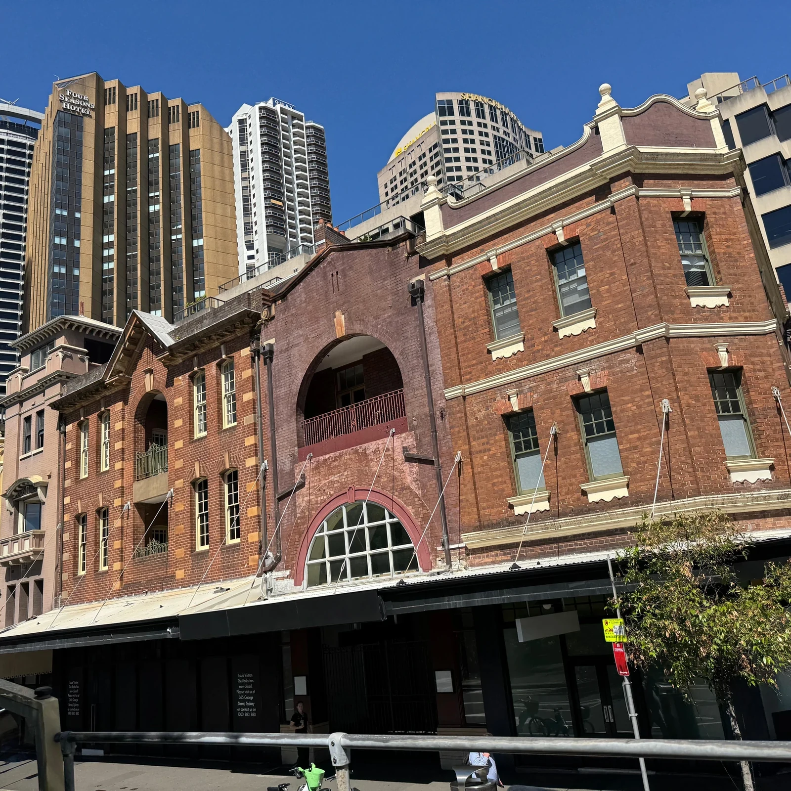
 Activity on TourBookGo
Sydney Big Bus Hop-On Hop-Off with Optional Cruise
Explore Sydney and Bondi Beach with Big Bus hop-on hop-off: 2 routes, 23 stops, 24- or 48-hour passes and options with a harbour cruise and night tour.
Getting around Sydney becomes much easier once you understand one important detail: the map can be deceptive. The city centre looks compact, but Sydney spreads around an enormous harbour, across peninsulas, beaches and residential neighbourhoods, with some areas separated by kilometres of water. Understanding that geography from the start helps you spend less time in transit and more time enjoying each area.
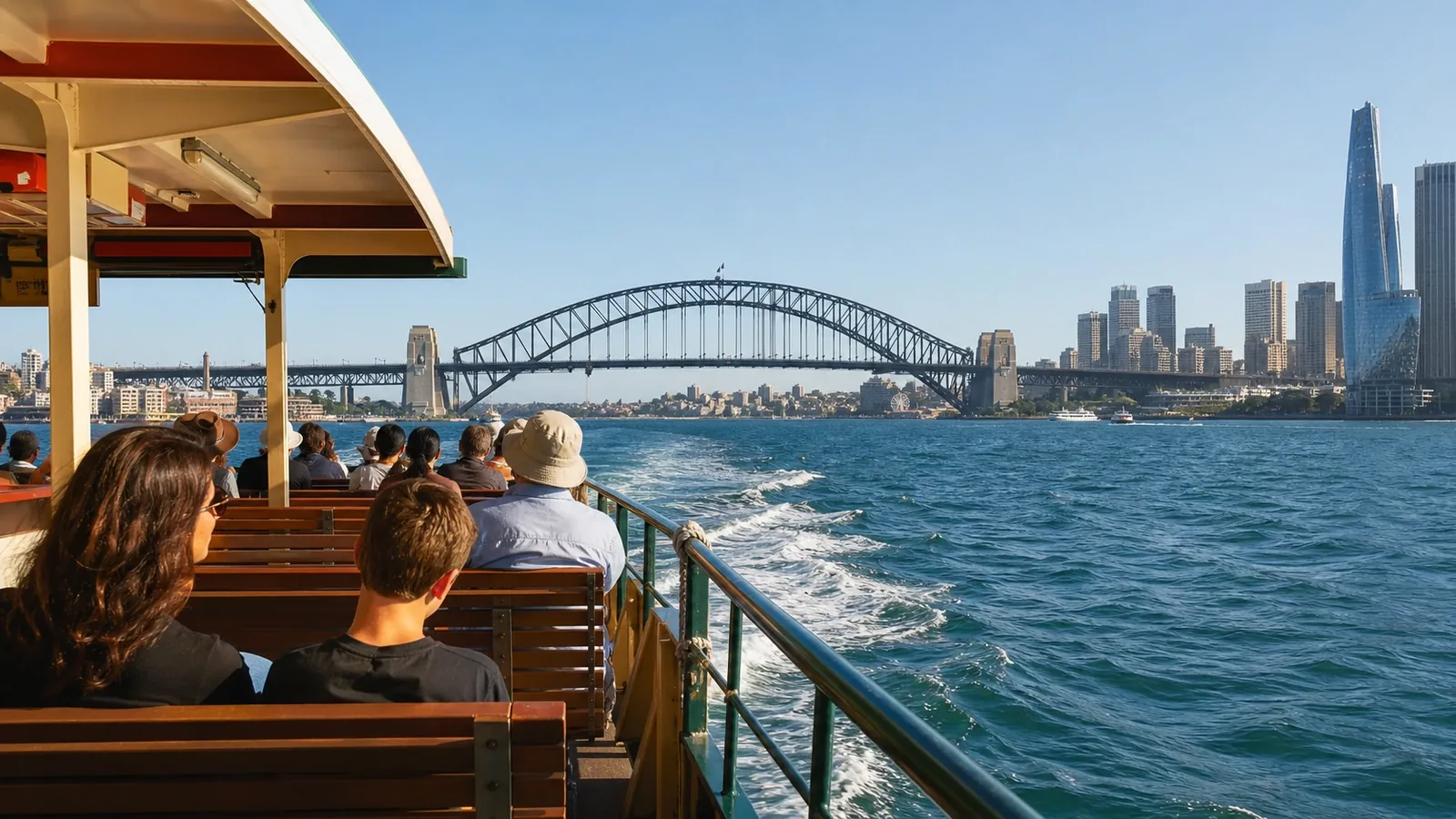
Getting around Sydney is straightforward when you combine its public transport options well. Trains, Metro services, buses, light rail and ferries form an extensive network, and some of the most scenic journeys — particularly those crossing the harbour — are also part of everyday public transport. For most travellers, the practical conclusion is simple: you do not need to rent a car to see Sydney's main visitor areas. On a first trip, it is usually easier to walk within each neighbourhood and use public transport for the longer distances.
Compare locations and options to find a base that suits your trip. Booking.com confirms current availability and pricing.
Find accommodation on BookingYes, and it is well worth doing, but only to a certain extent.
The tourist heart of the city is ideal for walking. Circular Quay, The Rocks, the Sydney Opera House, the Royal Botanic Garden and much of the CBD can easily be explored on foot. Walking between central areas such as Barangaroo and Darling Harbour is also enjoyable if you do not mind covering a few kilometres.
Walking reveals a side of Sydney that is easy to miss from a vehicle: sandstone buildings, parks where the blue harbour suddenly appears and modern streets that slope down towards small stretches of waterfront.
The problem comes when you try to apply the same approach to the entire city.
Bondi, Manly, Newtown, Watsons Bay and the northern suburbs are not simply extensions of the centre. Sydney is huge, and its attractions are spread out, so trying to cover everything on foot can quickly consume too much of your day.
The most sensible strategy is to use Sydney public transport for longer journeys and explore each area on foot once you arrive.
Sydney public transport combines Metro services, trains, buses, light rail and ferries. It is particularly convenient for visitors because many journeys can be paid for directly with a contactless bank card or a compatible phone or smartwatch, as well as with an Opal card. Transport for NSW states that contactless payments provide the same fares and general benefits as an Opal card for compatible fare types.
It is important to use the same card or device when tapping on and off so the system can correctly calculate your fares and any applicable benefits.
For an adult visitor spending a few days in the city, this removes much of the hassle: you can start using trains, the Metro, buses and ferries without first learning a complicated ticketing system.
Sydney trains remain one of the most useful ways to travel between the city centre and many neighbourhoods.
Sydney Metro has added fast connections across the city and continues to expand. Works and service adjustments can temporarily affect some south-western journeys, so check the official trip planner before travelling.
For a typical sightseeing trip, these works do not prevent you from visiting Sydney's main attractions, although it is worth checking the transport planner before making less common journeys.
Few cities can turn an everyday journey into something this memorable.
Sydney ferries leave Circular Quay for destinations around the harbour and offer far more than a simple way to travel from A to B. As the boat pulls away from the wharf, the Opera House, Harbour Bridge, waterfront homes and bright harbour light come into view, turning an ordinary transfer into one of the most enjoyable parts of the day.
The ferry to Manly is probably the best-known example, combining public transport with some of Sydney's most memorable harbour views.
Ferries are also useful for journeys where travelling by road would be less direct.
The harbour does, however, have its own rhythm. If time is limited, check the timetable rather than assuming ferries run as frequently as an urban Metro service.
Sydney buses are generally easy to use, although they can feel slightly less intuitive than trains or the Metro on a first visit.
They are particularly important for reaching neighbourhoods, beaches and areas without a nearby railway station. For destinations such as Bondi Beach, for example, a bus will usually form part of the public transport journey.
Buses are easiest to use with an app or journey planner that lets you follow the route in real time. Transport for NSW also offers its official Opal Travel app for checking journeys and payment-related activity.
A common mistake is to assume that every famous sight has a direct connection. Some journeys require a combination of train, Metro or ferry and bus.
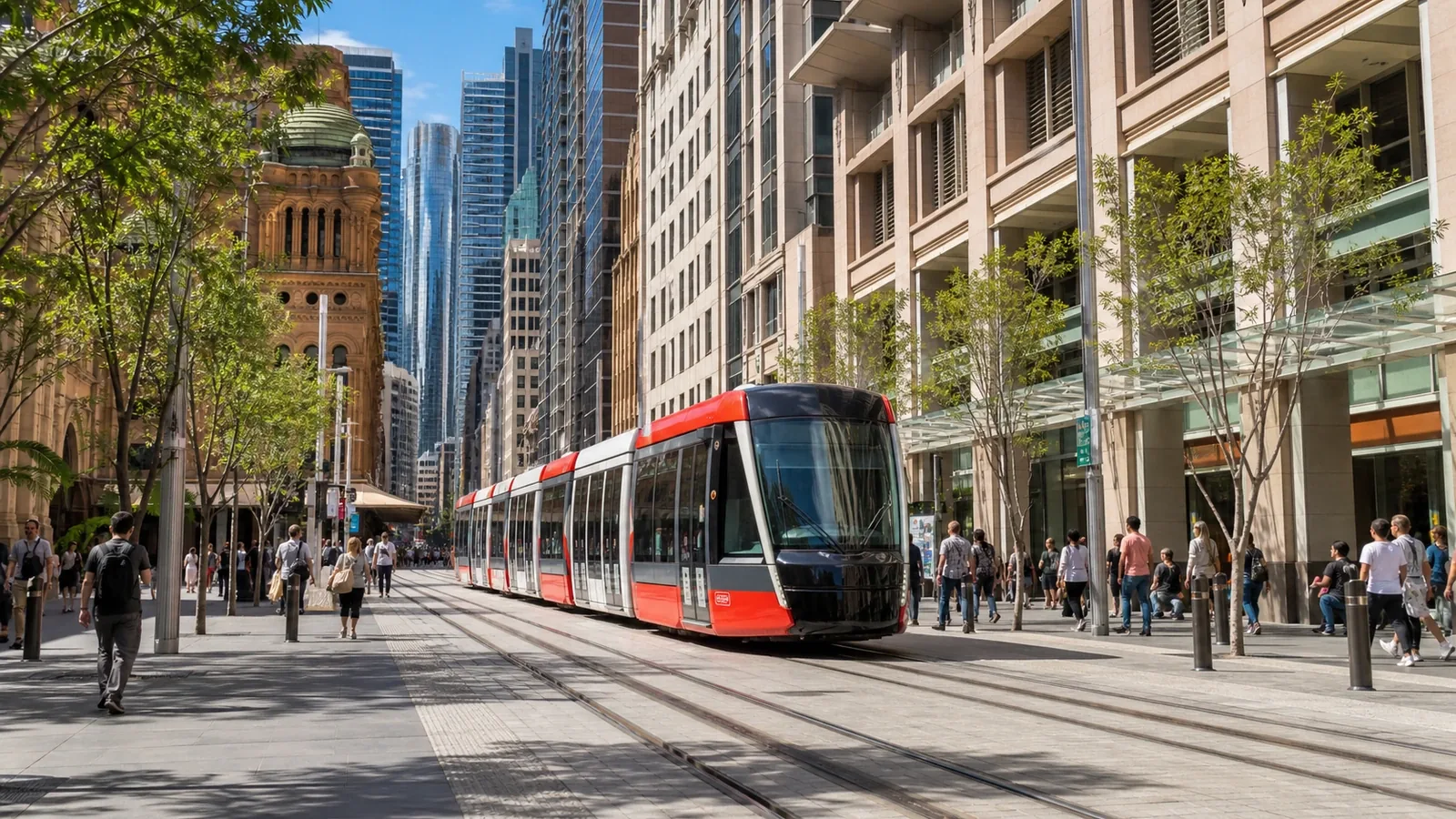
Sydney light rail is convenient in parts of the CBD and for journeys towards areas east of the city centre.
It does not replace the rest of the network, but it can save you some walking and is easy to understand on a first visit. Rather than memorising every line, it is more useful to think of Sydney's transport network as a flexible combination: walking, train or Metro, then ferry or bus when the route requires it.
For exploring the city itself, generally not.
Traffic, parking and Sydney's sheer size mean that car rental in Sydney is often unnecessary if your trip focuses on the CBD, harbour, beaches and main visitor areas.
Using public transport also lets you enjoy the scenery instead of spending time looking for somewhere to park.
A car becomes more useful when Sydney is your starting point for exploring areas outside the city or when your itinerary includes places that are poorly connected to one another.
It can also be practical for families travelling with a lot of luggage or for visitors staying far from the main public transport corridors.
But renting one simply to travel between Circular Quay, Darling Harbour, Bondi and other major attractions usually adds very little.
Sydney Airport is connected to the city by train. The airport states that the journey to the city centre takes approximately 13 minutes by train, although your total travel time will depend on the exact station, waiting time and location of your accommodation.
It is a particularly convenient option if you are staying near a station and want a straightforward Sydney Airport to city centre transfer.
There is one important detail: airport stations charge an additional station access fee on top of the standard public transport fare.
Taxis and rideshare services may be more comfortable if you have several suitcases, are travelling with children or have just come off a long flight, especially when the cost is shared between several people.
One of the biggest mistakes when planning a Sydney visit is grouping places together simply because they look close on a tourist map.
Sydney's geography works differently.
The harbour creates large inlets that force you either to travel around them or use ferries. The eastern beaches form their own area, Manly sits on the other side of the harbour, and the inner-city neighbourhoods have enough character to deserve time of their own.
That is why it is usually much easier to organise each day by area.
You might spend one day around Circular Quay, The Rocks and the gardens; another around Bondi and the eastern coastline; another in Manly and the north side of the harbour; and another exploring inner-city neighbourhoods such as Newtown.
Constantly crossing the city just to tick places off a list can turn a beautiful visit into a succession of transfers.
For most travellers, the best approach to getting around Sydney is to walk within each neighbourhood, use trains or the Metro for longer distances, take buses when needed and include ferries whenever they fit naturally into the route.
The car can wait.
Sydney is more enjoyable when you work with its geography rather than against it. Sometimes the best journey is not the shortest line between two points, but a seat beside a ferry window, watching the skyline drift away across the water and realising that public transport can become part of the experience itself.
Discover Sydney through three hand-picked experiences combining city icons, local culture and well-organized excursions.
Activity on TourBookGoExplore Sydney and Bondi Beach with Big Bus hop-on hop-off: 2 routes, 23 stops, 24- or 48-hour passes and options with a harbour cruise and night tour.
 Activity on TourBookGo
Visit Taronga Zoo with admission and a return ferry from Circular Quay or Darling Harbour. See what is included, price, duration and booking tips.
 Activity on TourBookGo
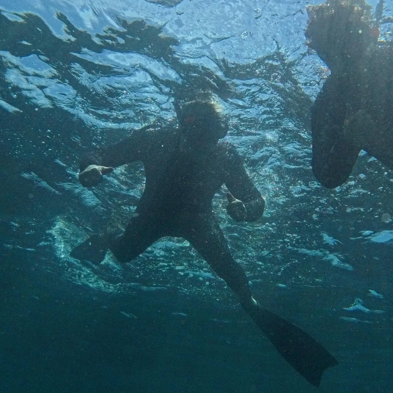
Discover Clovelly’s marine life on a 90-minute small-group snorkeling experience with a certified guide, snorkeling gear and photos included.