 Activity on TourBookGo
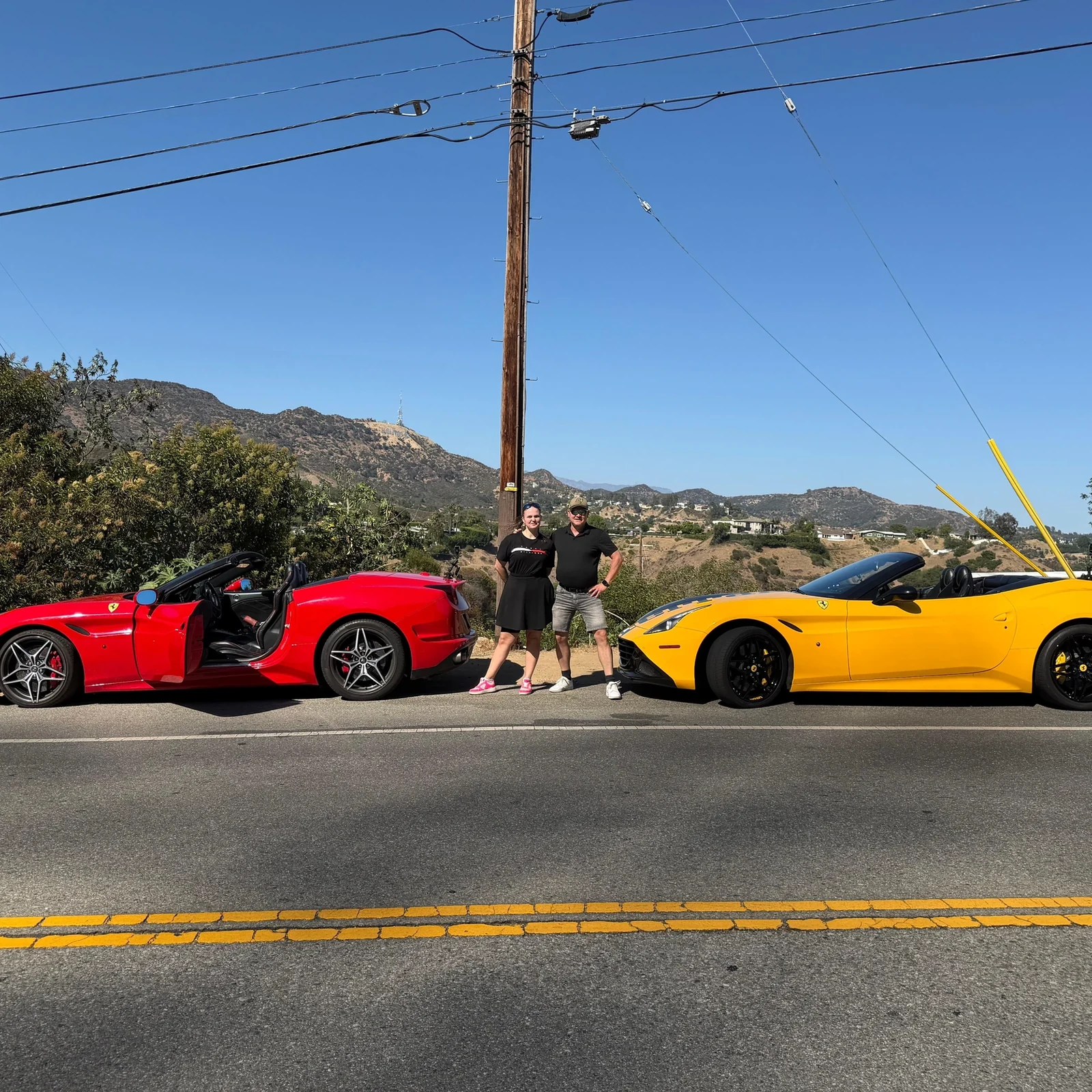
Hollywood Ferrari Tour in a Ferrari California T
Book a Hollywood Ferrari tour in a Ferrari California T. Drive or ride for 30 minutes on a private Los Angeles sports-car experience from €122.
Getting around Los Angeles is easier when you combine the Metro, buses, ride services and a rental car, then organize each sightseeing day by area.
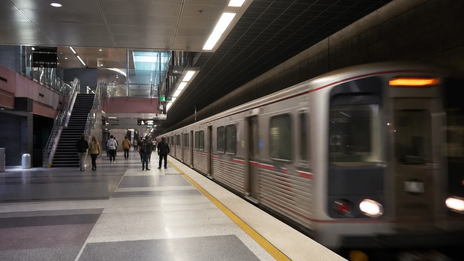
Getting around Los Angeles is one of the first things worth planning before your trip. This is not a compact city you simply move around; it is a city you cross. Between the Pacific beaches, the Hollywood Hills, the museums of Downtown and the neighborhoods of the Westside lies a vast urban landscape where six miles may look like nothing on a map yet turn into an hour in traffic. The key is not to rely on a single mode of transportation, but to combine the Los Angeles Metro, buses, ride services and a rental car when it genuinely adds convenience, planning each day by area.
Compare locations and options to find a base that suits your trip. Booking.com confirms current availability and pricing.
Find accommodation on BookingWhether you need to rent a car in Los Angeles depends less on the city itself than on the kind of trip you have imagined.
A car is practical for visiting far-flung attractions, exploring Malibu, driving along the coast, reaching certain viewpoints or getting around residential neighborhoods with limited connections. It also gives you greater freedom when traveling as a family, carrying a lot of luggage or planning several excursions outside the urban core.
However, renting one for your entire stay is not always the most convenient choice. Traffic can be exhausting, some freeways may feel intimidating at first, and parking near beaches, stadiums, restaurants or tourist areas can be expensive and time-consuming. The car may also spend most of the day parked when your plans are focused on Downtown, Hollywood or Santa Monica.
For many travelers, the best way to get around Los Angeles is a hybrid approach: public transportation and ride services on city days, and a rental car only for days involving more scattered destinations.
It is particularly useful for:
Exploring Malibu and other parts of the coast.
Visiting several far-apart neighborhoods in a single day.
Taking day trips outside Los Angeles.
Traveling with small children or a large amount of luggage.
Staying far from a Metro station or a well-connected area.
You can manage without a car when your accommodation is close to the Metro and your itinerary is concentrated in areas such as Downtown, Hollywood, Koreatown, Universal City, Culver City or Santa Monica. It also works well for patient travelers who are comfortable walking and willing to plan each journey carefully.
The Metro network combines urban rail, subway, light rail and bus services. It does not cover every corner of the county, but it connects many useful destinations for visitors, including Downtown, Hollywood, Universal City, Santa Monica, Long Beach and parts of the southern and eastern areas of the city.
The standard fare is $1.75. Transfers are free for two hours when the same payment method is used, and the system automatically applies fare caps: $5 per day and $18 within a seven-day period. You can pay with a TAP card or by tapping a compatible physical or digital bank card. Cash payment is available only on buses and does not qualify for these fare caps.
For visitors, the most useful lines are generally the following.
This line connects Downtown with Hollywood Boulevard, Universal City and North Hollywood. It is one of the most convenient ways to avoid traffic between the city center and the tourist areas to the north.
This line runs from Downtown to the coast, crossing the Westside along the way. It is not always faster than driving under ideal conditions, but it removes the uncertainty of traffic and parking.
These lines serve Long Beach, the southern part of the county, Inglewood and the area around the airport. They are useful for certain itineraries, although it is advisable to check the full route and any necessary transfers before setting out.
Buses reach much farther than the rail network and provide access to neighborhoods without a station. Their main drawback is that they also get caught in traffic, so a journey that looks short may take considerably longer than expected.
Metro provides tools for checking routes, real-time arrivals and service disruptions. It is important to consult them before leaving, especially at night or when events, construction work or detours are affecting service.
DASH buses, operated by the Los Angeles Department of Transportation, also run within certain neighborhoods. They are particularly useful for local trips and connections to Metro stations. Fares are low: 50 cents in cash or 35 cents with TAP.
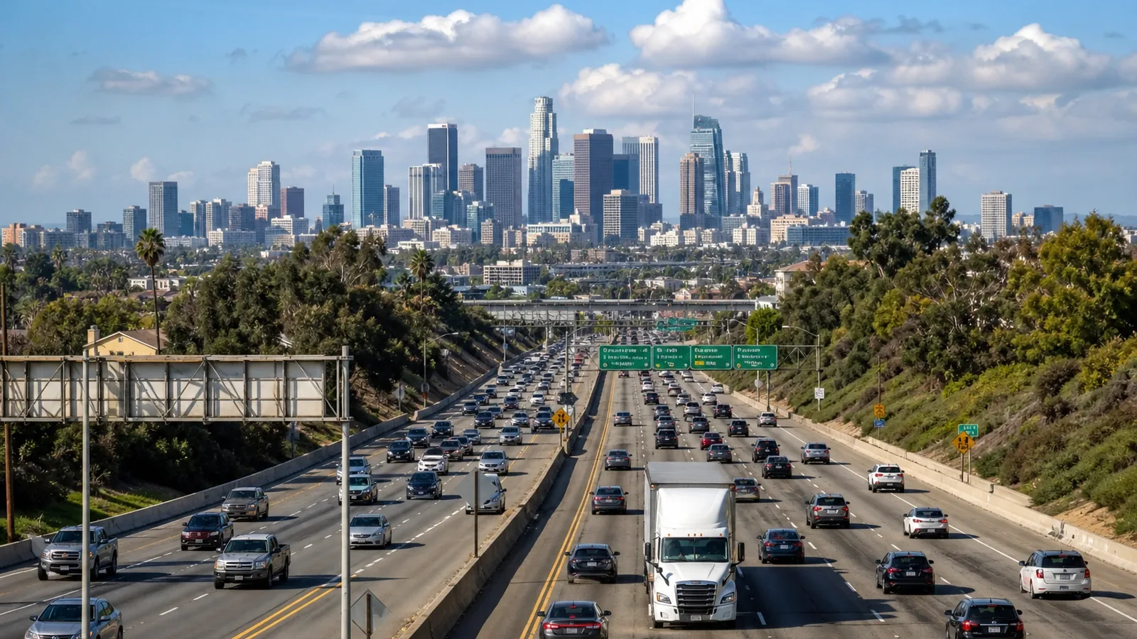
The airport is far from many tourist areas, and journey times can vary dramatically depending on the time of day.
The FlyAway service connects the LAX terminals with Union Station and Van Nuys seven days a week. At the airport, buses depart from the lower arrivals level beside the blue signposted pillars. It is a particularly practical option for travelers staying in Downtown or those who can continue their journey from Union Station.
For other neighborhoods, a taxi or ride-hailing service may be more direct, although both the price and journey time depend on traffic. Before choosing, it is worth calculating the full trip to your accommodation rather than considering only the journey out of the airport.
Ride services work well for medium-length journeys, late-night trips and areas with poor public transportation links. They are also useful for covering the last stretch between a station and accommodation located on a hillside or in a residential neighborhood.
However, using them for every journey can quickly increase your budget. During rush hour, a trip that seemed straightforward may become slow and expensive. Their best use is not to replace public transportation entirely, but to fill the gaps where the network is inconvenient.
Los Angeles is not a walkable city as a whole, but many of its individual neighborhoods are.
Santa Monica, Venice, Downtown, Los Feliz, parts of Hollywood, West Hollywood and the Arts District can all be pleasant to explore on foot. The mistake is assuming that two well-known places that appear close together will be linked by an enjoyable walk. In many cases, the route involves wide avenues, awkward crossings, steep slopes or long stretches with little interest for pedestrians.
The heat also needs to be taken into account. In summer and during periods of high temperatures, outdoor stops and platforms can be uncomfortable, especially in areas with little shade. Metro recommends minimizing time spent waiting outside, looking for shaded areas and checking your route before leaving.
In coastal areas and along certain routes, cycling offers a bright and enjoyable way to discover the city. The beachfront path between Santa Monica and Venice is far more pleasant on two wheels than many inland avenues.
Outside these corridors, the experience changes. Long distances, traffic and inconsistent cycling infrastructure require caution. Scooters can be useful for short trips, but they should not become the basis of an itinerary that crosses major thoroughfares.
The most important principle is to group your visits by area.
Spend one day in Downtown and its surroundings, another in Hollywood, Griffith Park and Los Feliz, another in Santa Monica and Venice, and another on the Westside or along the Malibu coast. Crossing the city several times in one day usually consumes far more time and energy than the map suggests.
It is also best to avoid scheduling long journeys during rush hour. In Los Angeles, leaving half an hour earlier or later can completely change the experience.
The most common mistake is underestimating distances. Others include booking inexpensive but isolated accommodation, renting a car without checking parking costs and planning a day with attractions located at opposite ends of the city.
It is also unwise to depend on a single mode of transportation. The Metro is useful, but it does not go everywhere; a car offers freedom, but it can become a burden; and ride services are convenient, but expensive when overused.
For a first visit, the most balanced approach is usually to stay in a well-connected area, use the Metro and buses along the main corridors, rely on ride services for inconvenient journeys and rent a car only for exploring the coast or taking excursions.
Los Angeles rewards travelers who accept its scale. It is not a city for rushing from one landmark to another, but a mosaic of neighborhoods separated by freeways, hills and miles of sunlight. When your itinerary respects that geography, getting around stops being an obstacle and becomes part of the journey.
Discover selected experiences in Los Angeles to complete this guide with Hollywood, film studios, museums, coastline, nature and well-organised tours.
Activity on TourBookGoBook a Hollywood Ferrari tour in a Ferrari California T. Drive or ride for 30 minutes on a private Los Angeles sports-car experience from €122.
 Activity on TourBookGo
Beverly Hills luxury SUV tour with a driver-guide, hotel pickup, Rodeo Drive, Greystone Mansion and a small group of up to 6 people over 4 hours.
 Activity on TourBookGo
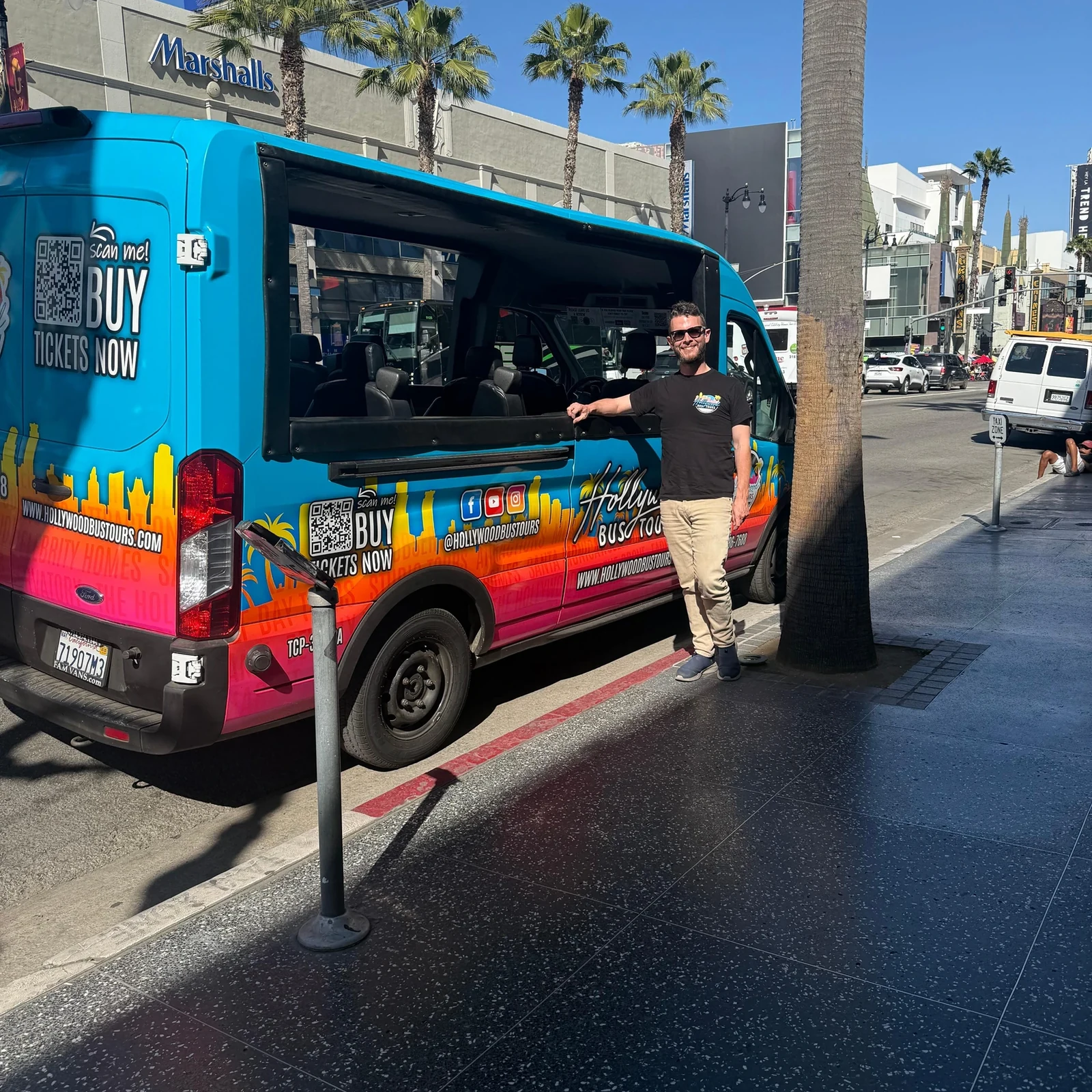
Explore the Hollywood Beverly Hills celebrity homes tour from Santa Monica: 3.5 hours via Mulholland Drive, Sunset Strip and the Walk of Fame. From €51.